Soubor:Argentina (orthographic projection).png
Z Multimediaexpo.cz
Velikost tohoto náhledu je: 600 × 600 pixelů
Obrázek ve vyšším rozlišení (rozměr: 1 000 × 1 000 pixelů, velikost souboru: 219 kB, MIME typ: image/png)
Mapa + Description:
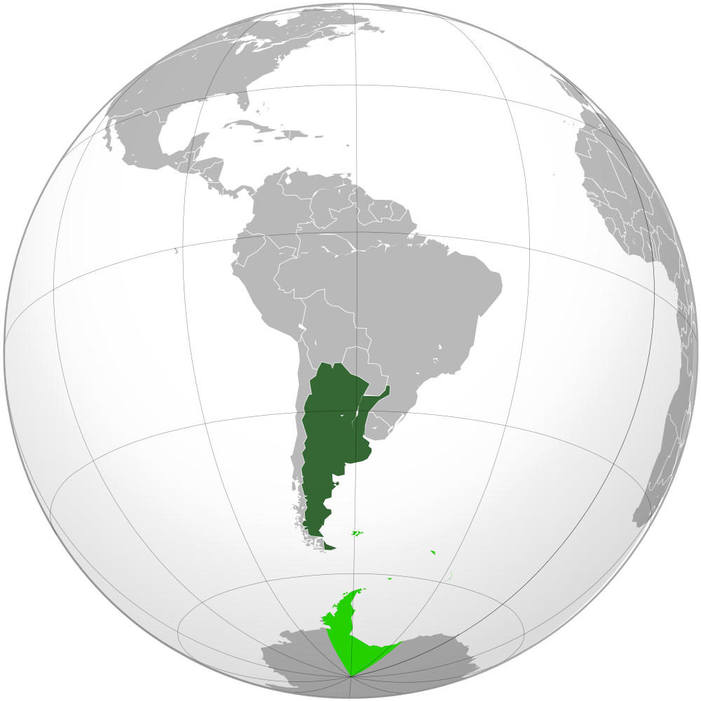
- Deutsch: Geographische Lage Argentiniens in orthographischer Projektion.
- ██ souveränes Gebiet
- ██ beanspruchte Gebiete
- English: Location of Argentina in orthographic projection.
- ██ Sovereign territory.
- ██ Claimed territories.
- Español: Ubicación geográfica de la República Argentina en proyección ortográfica.
- ██ Territorio soberano.
- ██ Territorios en reclamo.
- Nederlands: Geografische ligging van Argentinië in orthografische projectie.
- ██ Soeverein gebied
- ██ Opgeëiste gebieden
- Date: 28 April 2009
- Source: Own work, based on the Image:Brazil (orthographic projection).svg
- Author: Dexxter
+ pochází z Wikimedia Commons, kde má status – This file is licensed under the Creative Commons Attribution 3.0 Unported license. (CC BY 3.0)
Historie souboru
Kliknutím na datum a čas se zobrazí tehdejší verze souboru.
| Datum a čas | Náhled | Rozměry | Uživatel | Komentář | |
|---|---|---|---|---|---|
| současná | 14. 5. 2013, 19:35 | | 1 000×1 000 (219 kB) | Sysop (diskuse | příspěvky) | (Mapa + + pochází z Wikimedia Commons, kde má status – Creative Commons Uveďte autora-Zachovejte licenci 3.0 Unported (autor: TUBS). Kategorie:CC fotografie Kategorie:Mapy světa PNG) |
- Editovat tento soubor v externím programu (Více informací najdete v nápovědě pro nastavení.)
Odkazy na soubor
Na soubor odkazuje tato stránka:
.png&action=edit)
.png&action=history)
.png)
.png&oldid=1538813)
.png)
.png)
.png&action=edit&redlink=1)
.png&action=edit&externaledit=true&mode=file)
.png)