Soubor:Banks topo.png
Z Multimediaexpo.cz
Velikost tohoto náhledu je: 567 × 599 pixelů
Obrázek ve vyšším rozlišení (rozměr: 2 000 × 2 114 pixelů, velikost souboru: 3,58 MB, MIME typ: image/png)
Mapa + Description:
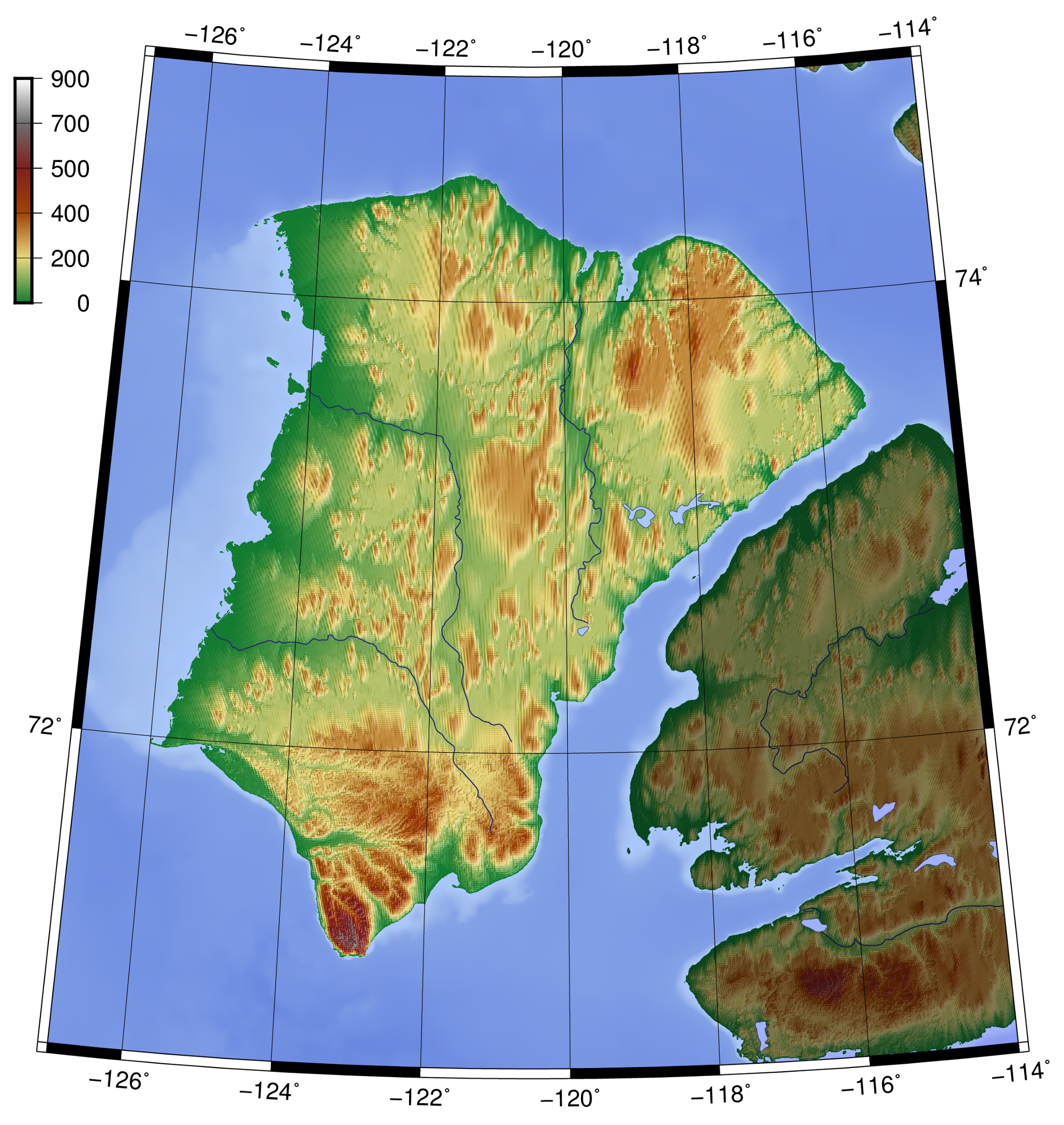
- English: Topography of Banks Island, created with GMT 5.2.1
- Date: 6 March 2016
- Source: At least one of the following Public Domain data sources
- ETOPO1 (Resolution 1° = 1,8km)
- GlobeDem (Resolution 1° = 1,8km)
- Author: Zamonin
+ pochází z Wikimedia Commons, kde má status – This file is licensed under the Creative Commons Attribution-Share Alike 4.0 International license. (CC BY-SA 4.0)
Historie souboru
Kliknutím na datum a čas se zobrazí tehdejší verze souboru.
| Datum a čas | Náhled | Rozměry | Uživatel | Komentář | |
|---|---|---|---|---|---|
| současná | 3. 3. 2021, 11:47 | | 2 000×2 114 (3,58 MB) | Sysop (diskuse | příspěvky) |
- Editovat tento soubor v externím programu (Více informací najdete v nápovědě pro nastavení.)
Odkazy na soubor
Na soubor odkazuje tato stránka:


