Soubor:Norwegian Sea map cs.png
Z Multimediaexpo.cz
Velikost tohoto náhledu je: 657 × 600 pixelů
Obrázek ve vyšším rozlišení (rozměr: 1 000 × 913 pixelů, velikost souboru: 414 kB, MIME typ: image/png)
Mapa + Description:
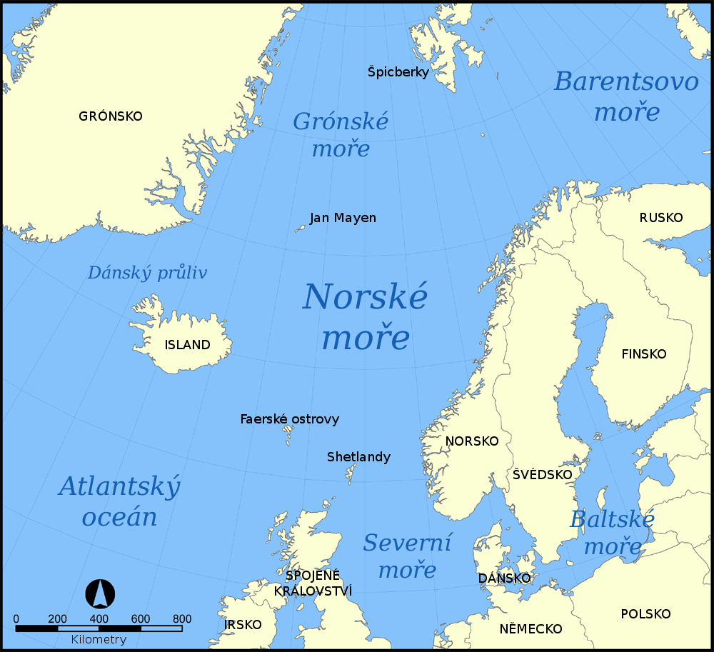
- Čeština: Mapa ukazující polohu Norského moře v severním Atlantském oceánu. Český překlad.
- English: A map showing the location of the Norwegian Sea in the North Atlantic Ocean. Czech translation.
- Date: 21 October 2009, 18:32 (UTC)
- Source: Norwegian_Sea_map.png
- Author: NormanEinstein
- derivative work: Miraceti
+ pochází z Wikimedia Commons, kde má status – Permission is granted to copy, distribute and/or modify this document under the terms of the GNU Free Documentation License, Version 1.2 or any later version published by the Free Software Foundation; with no Invariant Sections, no Front-Cover Texts, and no Back-Cover Texts.
Historie souboru
Kliknutím na datum a čas se zobrazí tehdejší verze souboru.
| Datum a čas | Náhled | Rozměry | Uživatel | Komentář | |
|---|---|---|---|---|---|
| současná | 21. 1. 2021, 09:22 | | 1 000×913 (414 kB) | Sysop (diskuse | příspěvky) | (Fotografie + ) |
- Editovat tento soubor v externím programu (Více informací najdete v nápovědě pro nastavení.)
Odkazy na soubor
Na soubor odkazuje těchto 5 stránek:


