The English encyclopedia Allmultimedia.org will be launched in two phases.
The final launch of the Allmultimedia.org will take place on February 24, 2026
(shortly after the 2026 Winter Olympics).
Dovolená : 23. prosinec 2025 — 29. prosinec 2025
Holidays : December 23, 2025 — December 29, 2025
The final launch of the Allmultimedia.org will take place on February 24, 2026
(shortly after the 2026 Winter Olympics).
Dovolená : 23. prosinec 2025 — 29. prosinec 2025
Holidays : December 23, 2025 — December 29, 2025
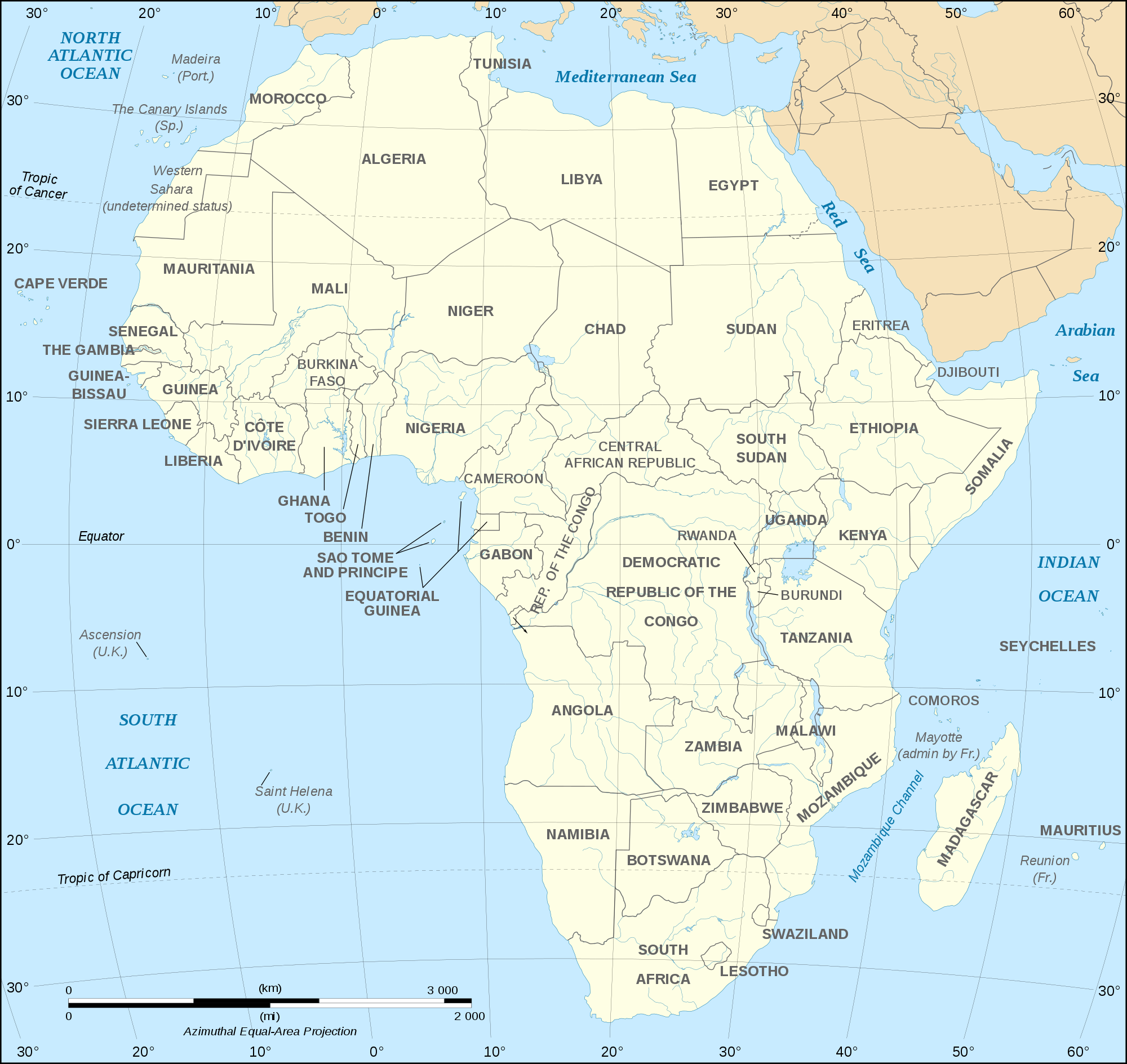
Soubor:African continent-en.png
Z Multimediaexpo.cz
Velikost tohoto náhledu je: 635 × 600 pixelů
Obrázek ve vyšším rozlišení (rozměr: 2 000 × 1 889 pixelů, velikost souboru: 770 kB, MIME typ: image/png)
Mapa + Description:
- English: Map of the African continent as in 2011-07.
- Français : Carte en anglais du continent africain tel qu'en 07/2011.
- Lambert azimutal equal-area projection, WGS84 datum, standard meridian: 15°E, standard parallel: 0°
- Scale: 1:15,000,000 (accuracy: 3,75 km)
- Date: 6 December 2008, 08:34 (UTC), updated 2011-07
- Source: African continent-fr.svg
- Author: Derivative works of this file: Bobarino
- African continent-fr.svg: Eric Gaba (Sting - Sting)
+ pochází z Wikimedia Commons, kde má status – This file is licensed under the Creative Commons Attribution-Share Alike 2.5 Generic, 2.0 Generic and 1.0 Generic license.
Historie souboru
Kliknutím na datum a čas se zobrazí tehdejší verze souboru.
| Datum a čas | Náhled | Rozměry | Uživatel | Komentář | |
|---|---|---|---|---|---|
| současná | 11. 4. 2019, 09:31 | | 2 000×1 889 (770 kB) | Sysop (diskuse | příspěvky) | (Mapa + ) |
- Editovat tento soubor v externím programu (Více informací najdete v nápovědě pro nastavení.)
Odkazy na soubor
Na soubor odkazuje tato stránka:


