V encyklopedii Allmultimedia.cz byl aktivován špičkový grafický skin Foreground.
Foreground plně podporuje – RWD, HTML 5.0, Super Galerii a YouTube 2.0 !
Foreground plně podporuje – RWD, HTML 5.0, Super Galerii a YouTube 2.0 !
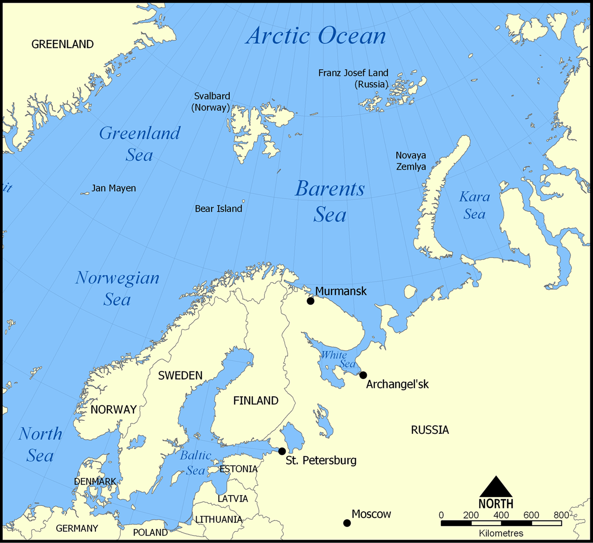
Soubor:Barents Sea map.png
Z Multimediaexpo.cz
Velikost tohoto náhledu je: 655 × 599 pixelů
Obrázek ve vyšším rozlišení (rozměr: 1 200 × 1 098 pixelů, velikost souboru: 680 kB, MIME typ: image/png)
Mapa + Description:
- English: The location of the Barents Sea north of Russia and Norway, and the surrounding seas and islands. Also includes political borders with their corresponding nation-states listed.
- Date: 25 November 2005, 16:40
- Author: NormanEinstein
+ pochází z Wikimedia Commons, kde má status – Permission is granted to copy, distribute and/or modify this document under the terms of the GNU Free Documentation License, Version 1.2 or any later version published by the Free Software Foundation; with no Invariant Sections, no Front-Cover Texts, and no Back-Cover Texts.
Historie souboru
Kliknutím na datum a čas se zobrazí tehdejší verze souboru.
| Datum a čas | Náhled | Rozměry | Uživatel | Komentář | |
|---|---|---|---|---|---|
| současná | 17. 4. 2014, 07:32 | | 1 200×1 098 (680 kB) | Sysop (diskuse | příspěvky) | (MW1.15-Fotografie) |
- Editovat tento soubor v externím programu (Více informací najdete v nápovědě pro nastavení.)
Odkazy na soubor
Na soubor odkazují tyto 2 stránky:


