The English encyclopedia Allmultimedia.org will be launched in two phases.
The final launch of the Allmultimedia.org will take place on February 24, 2026
(shortly after the 2026 Winter Olympics).
Dovolená : 23. prosinec 2025 — 29. prosinec 2025
Holidays : December 23, 2025 — December 29, 2025
The final launch of the Allmultimedia.org will take place on February 24, 2026
(shortly after the 2026 Winter Olympics).
Dovolená : 23. prosinec 2025 — 29. prosinec 2025
Holidays : December 23, 2025 — December 29, 2025
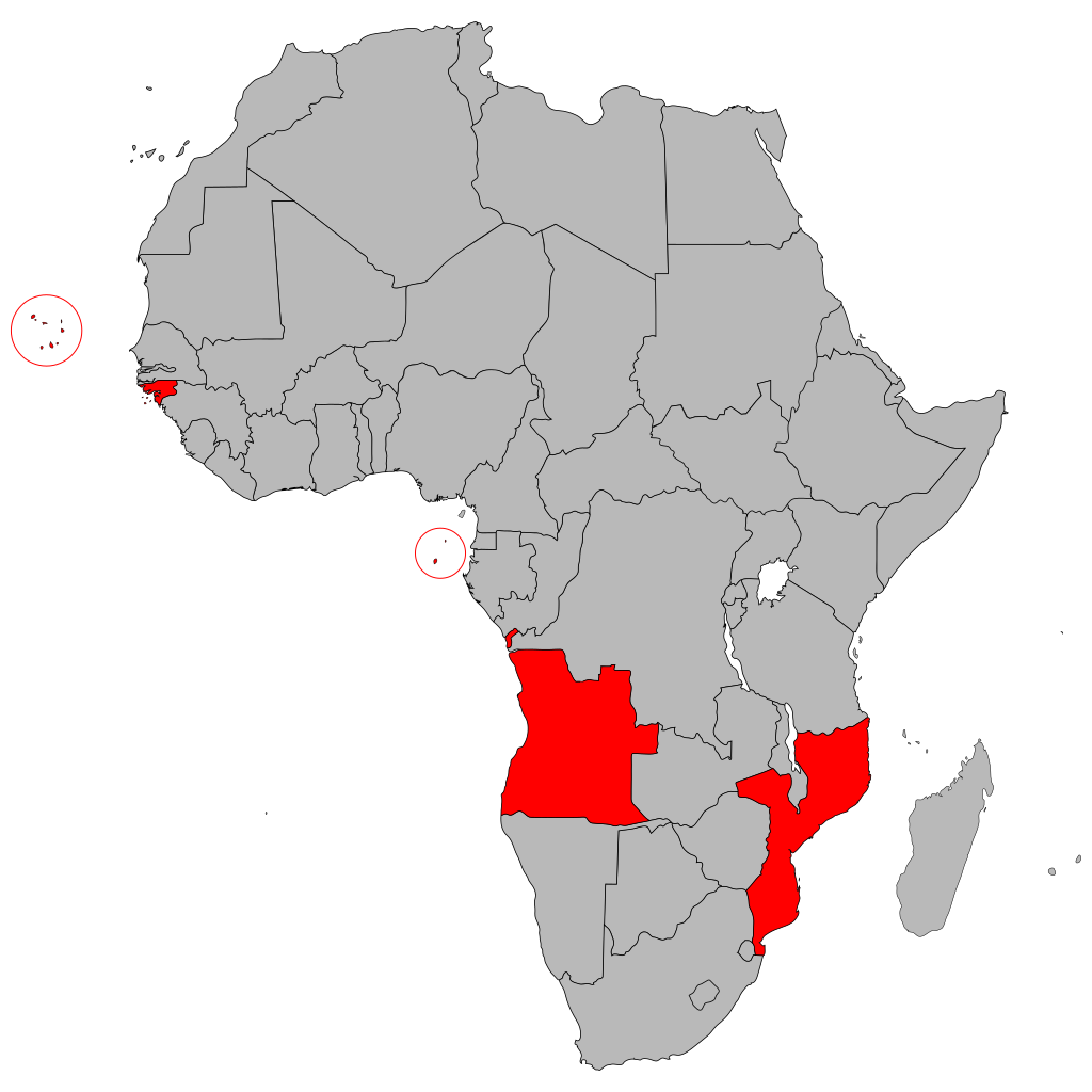
Soubor:Map of Africa-Portuguese-speaking countries.png
Z Multimediaexpo.cz
Velikost tohoto náhledu je: 600 × 600 pixelů
Obrázek ve vyšším rozlišení (rozměr: 1 024 × 1 024 pixelů, velikost souboru: 142 kB, MIME typ: image/png)
Mapa + Description:
- Deutsch: Karte der portugiesischsprachigen Länder Afrikas (Países Africanos de Língua Oficial Portuguesa)
- Français: Carte montrant les pays lusophones de l'Afrique
- English: Map of Africa highlighting the Portuguese-speaking countries
- Português: Mapa de África demarcando os PALOP
- Date: 25 May 2008
- Author: User:Waldir
+ pochází z Wikimedia Commons, kde má status – Permission is granted to copy, distribute and/or modify this document under the terms of the GNU Free Documentation License, Version 1.2 or any later version published by the Free Software Foundation; with no Invariant Sections, no Front-Cover Texts, and no Back-Cover Texts.
Historie souboru
Kliknutím na datum a čas se zobrazí tehdejší verze souboru.
| Datum a čas | Náhled | Rozměry | Uživatel | Komentář | |
|---|---|---|---|---|---|
| současná | 23. 2. 2022, 09:37 | | 1 024×1 024 (142 kB) | Sysop (diskuse | příspěvky) | (Fotografie + ) |
- Editovat tento soubor v externím programu (Více informací najdete v nápovědě pro nastavení.)
Odkazy na soubor
Na soubor odkazuje tato stránka:


