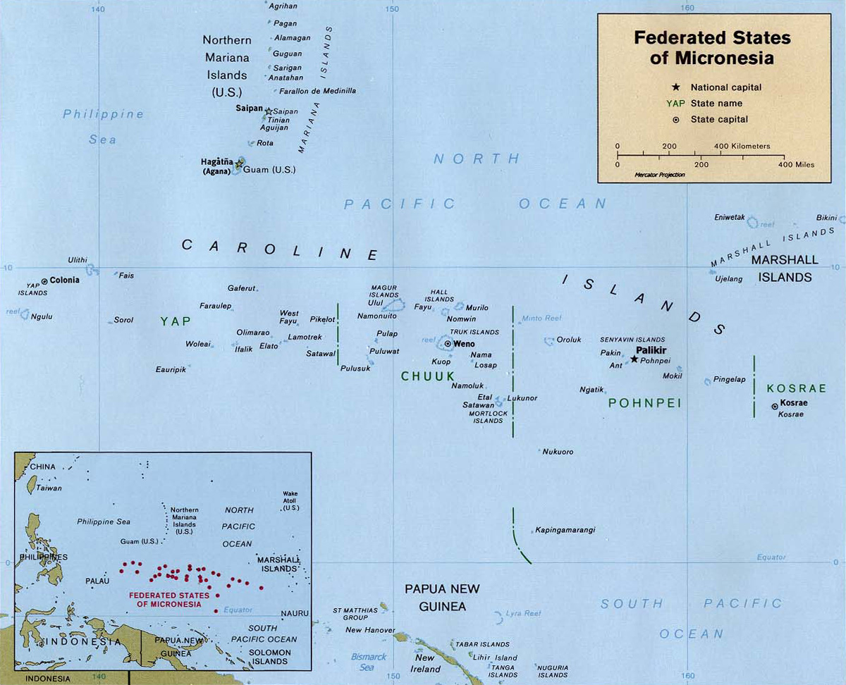
Soubor:Map of the Federated States of Micronesia CIA.jpg
Z Multimediaexpo.cz
Velikost tohoto náhledu je: 740 × 599 pixelů
Obrázek ve vyšším rozlišení (rozměr: 1 200 × 972 pixelů, velikost souboru: 312 kB, MIME typ: image/jpeg)
Mapa + Description:
- English: Map of the Federated States of Micronesia — in the Micronesia regon.
- Date: 1999
- Source: Federated States of Micronesia (Political) 1999 from Perry-Castañeda Library Map Collection: Federated States of Micronesia Maps
- Author: U.S. Central Intelligence Agency
+ pochází z Wikimedia Commons, kde má status – This image is a work of a Central Intelligence Agency employee, taken or made as part of that person's official duties. As a Work of the United States Government, this image or media is in the public domain in the United States.
Historie souboru
Kliknutím na datum a čas se zobrazí tehdejší verze souboru.
| Datum a čas | Náhled | Rozměry | Uživatel | Komentář | |
|---|---|---|---|---|---|
| současná | 13. 5. 2013, 22:40 | | 1 200×972 (312 kB) | Sysop (diskuse | příspěvky) |
- Editovat tento soubor v externím programu (Více informací najdete v nápovědě pro nastavení.)
Odkazy na soubor
Na soubor odkazuje tato stránka:


