V pátek 26. dubna 2024 úderem 22 hodiny začíná naše nová
a opravdu velká série soutěží o nejlepší webovou stránku !!
Proto neváhejte a začněte hned zítra soutěžit o lákavé ceny !!
a opravdu velká série soutěží o nejlepší webovou stránku !!
Proto neváhejte a začněte hned zítra soutěžit o lákavé ceny !!
Soubor:Latin America (orthographic projection).png
Z Multimediaexpo.cz
(Rozdíly mezi verzemi)
(Mapa +) |
(++) |
||
| Řádka 1: | Řádka 1: | ||
| - | Mapa + | + | Mapa + Description: |
| + | * English: Latin America (orthographic projection). In grey Canada, USA, Belize, Guyana, Suriname, Trinidad and Tobago, Jamaica, the Bahamas, the Falklands. | ||
| + | * Date: 2009 | ||
| + | * Author: Heraldry | ||
| + | |||
| + | {{GFDL}} | ||
| + | [[Kategorie:Mapy světa PNG]] | ||
Aktuální verze z 29. 6. 2020, 12:32
Mapa + Description:
- English: Latin America (orthographic projection). In grey Canada, USA, Belize, Guyana, Suriname, Trinidad and Tobago, Jamaica, the Bahamas, the Falklands.
- Date: 2009
- Author: Heraldry
+ pochází z Wikimedia Commons, kde má status – Permission is granted to copy, distribute and/or modify this document under the terms of the GNU Free Documentation License, Version 1.2 or any later version published by the Free Software Foundation; with no Invariant Sections, no Front-Cover Texts, and no Back-Cover Texts.
Historie souboru
Kliknutím na datum a čas se zobrazí tehdejší verze souboru.
| Datum a čas | Náhled | Rozměry | Uživatel | Komentář | |
|---|---|---|---|---|---|
| současná | 29. 6. 2020, 12:27 | 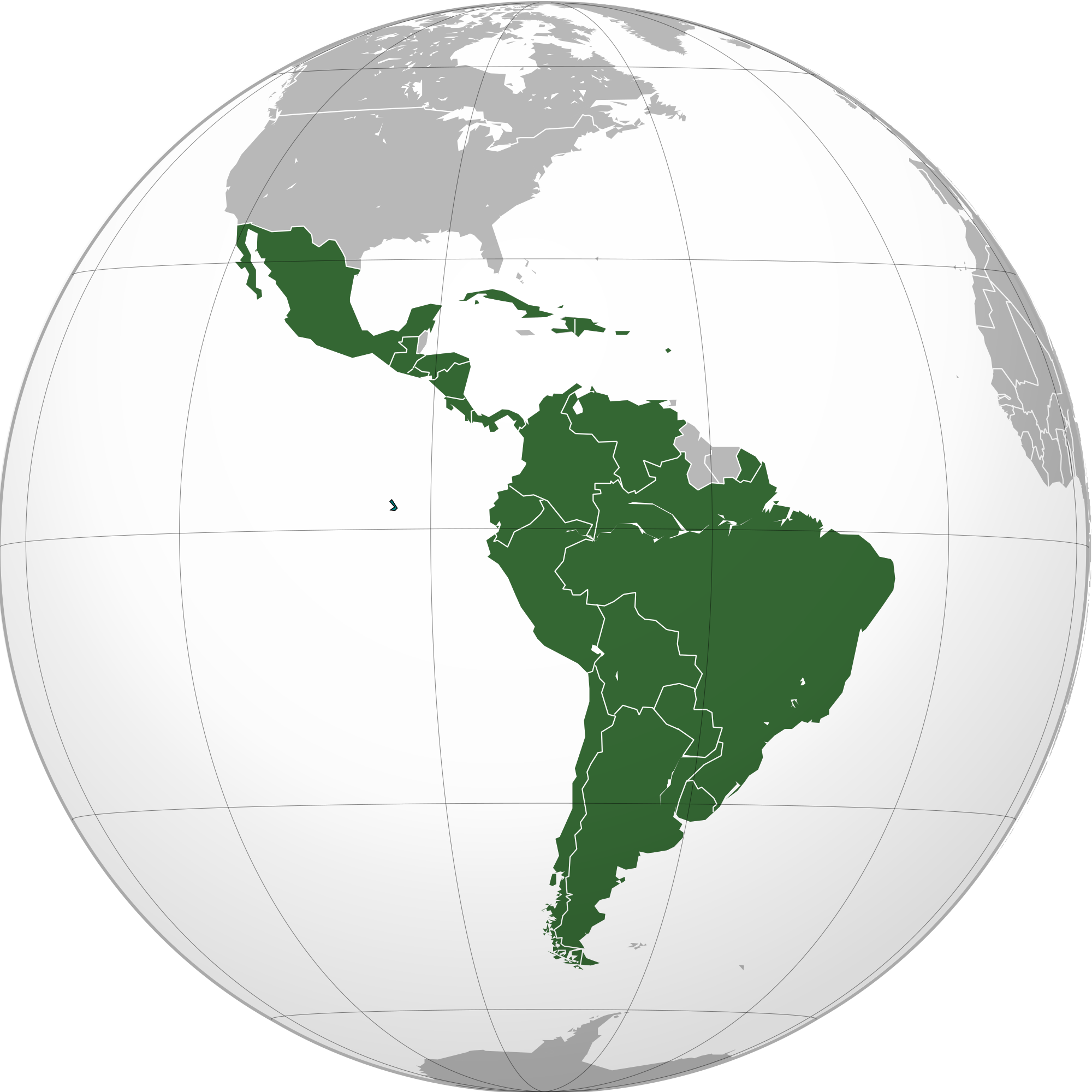 | 2 000×2 000 (519 kB) | Sysop (diskuse | příspěvky) | (Mapa + ) |
- Editovat tento soubor v externím programu (Více informací najdete v nápovědě pro nastavení.)
Odkazy na soubor
Na soubor odkazuje tato stránka:
.png&action=edit)
.png&action=history)
.png)
.png&oldid=1599606)
.png)
.png)
.png&action=edit&redlink=1)
.png&action=edit&oldid=1599606)
.png&oldid=1599604)
.png&action=edit&oldid=1599604)
.png&diff=prev&oldid=1599604)
.png&action=edit&externaledit=true&mode=file)
.png)