V pátek 26. dubna 2024 úderem 22 hodiny začíná naše nová
a opravdu velká série soutěží o nejlepší webovou stránku !!
Proto neváhejte a začněte hned zítra soutěžit o lákavé ceny !!
a opravdu velká série soutěží o nejlepší webovou stránku !!
Proto neváhejte a začněte hned zítra soutěžit o lákavé ceny !!
Soubor:Israel in its region (pre 1967 territory).png
Z Multimediaexpo.cz
(Rozdíly mezi verzemi)
(Mapa + + pochází z Wikimedia Commons, kde má status – Creative Commons Attribution-Share Alike 3.0 Unported (autor: TUBS). Kategorie:CC fotografie Kategorie:Mapy světa PNG) |
(+ Doplnění) |
||
| Řádka 1: | Řádka 1: | ||
| - | Mapa + | + | Mapa + Description: |
| + | * Deutsch: Lage von XY (siehe Dateiname) in der Region. | ||
| + | * English: Location of XY (see filename) in the region. | ||
| + | * Date: 2 June 2011 | ||
| + | * Author: TUBS | ||
| - | + | {{Cc-by-sa-3.0}} | |
| - | [[Kategorie: | + | [[Kategorie:Maps of Israel]] |
Aktuální verze z 3. 4. 2019, 09:57
Mapa + Description:
- Deutsch: Lage von XY (siehe Dateiname) in der Region.
- English: Location of XY (see filename) in the region.
- Date: 2 June 2011
- Author: TUBS
+ pochází z Wikimedia Commons, kde má status – This file is licensed under the Creative Commons Attribution-Share Alike 3.0 Unported license. (CC BY-SA 3.0)
Historie souboru
Kliknutím na datum a čas se zobrazí tehdejší verze souboru.
| Datum a čas | Náhled | Rozměry | Uživatel | Komentář | |
|---|---|---|---|---|---|
| současná | 14. 5. 2013, 21:03 | 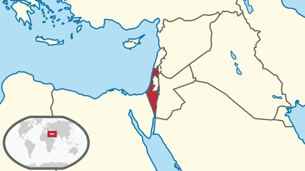 | 1 000×562 (121 kB) | Sysop (diskuse | příspěvky) | (Mapa + + pochází z Wikimedia Commons, kde má status – Creative Commons Attribution-Share Alike 3.0 Unported (autor: TUBS). Kategorie:CC fotografie Kategorie:Mapy světa PNG) |
- Editovat tento soubor v externím programu (Více informací najdete v nápovědě pro nastavení.)
Odkazy na soubor
Na soubor odkazuje tato stránka:
.png&action=edit)
.png&action=history)
.png)
.png&oldid=1526414)
.png)
.png)
.png&action=edit&redlink=1)
.png&action=edit&oldid=1526414)
.png&oldid=127422)
.png&action=edit&oldid=127422)
.png&diff=prev&oldid=127422)
.png&action=edit&externaledit=true&mode=file)
.png)