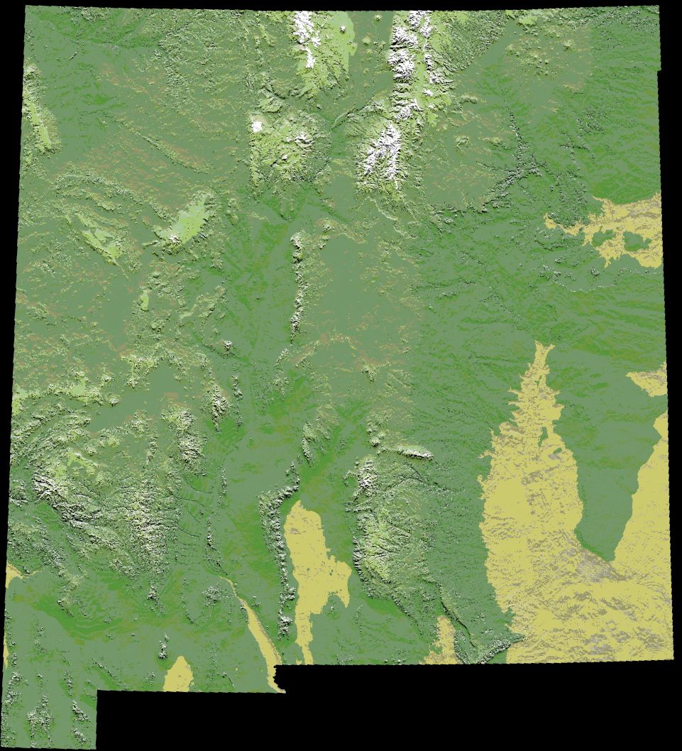
Soubor:Digital-elevation-map-new-mexico.jpg
Z Multimediaexpo.cz
Velikost tohoto náhledu je: 544 × 599 pixelů
Obrázek ve vyšším rozlišení (rozměr: 961 × 1 058 pixelů, velikost souboru: 227 kB, MIME typ: image/jpeg)
Fotografie + Description: English: en:Image:Digital-elevation-map-new-mexico.gif rotated and cropped
- Source: This file is lacking source information.
- Author: This file is lacking author information.
+ pochází z Wikimedia Commons, kde má status – This work is in the public domain in the United States because it is a work prepared by an officer or employee of the United States Government as part of that person’s official duties under the terms of Title 17, Chapter 1, Section 105 of the US Code.
(This only applies to original works of the Federal Government and not to the work of any individual U.S. state, territory, commonwealth, county, municipality, or any other subdivision.)
(This only applies to original works of the Federal Government and not to the work of any individual U.S. state, territory, commonwealth, county, municipality, or any other subdivision.)
Historie souboru
Kliknutím na datum a čas se zobrazí tehdejší verze souboru.
| Datum a čas | Náhled | Rozměry | Uživatel | Komentář | |
|---|---|---|---|---|---|
| současná | 18. 5. 2014, 03:35 | | 961×1 058 (227 kB) | Student85 (diskuse | příspěvky) | (Fotografie157) |
- Editovat tento soubor v externím programu (Více informací najdete v nápovědě pro nastavení.)
Odkazy na soubor
Na soubor odkazuje tato stránka:


