V encyklopedii Allmultimedia.cz byl aktivován špičkový grafický skin Foreground.
Foreground plně podporuje – RWD, HTML 5.0, Super Galerii a YouTube 2.0 !
Foreground plně podporuje – RWD, HTML 5.0, Super Galerii a YouTube 2.0 !
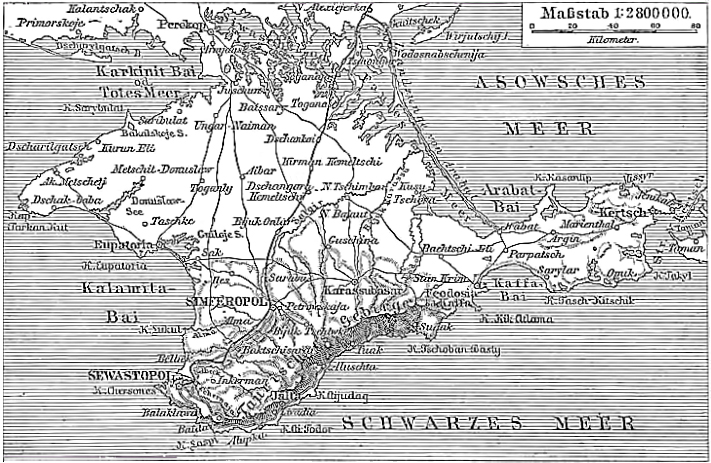
Soubor:Karte der Halbinsel Krim.jpg
Z Multimediaexpo.cz
Větší rozlišení není k dispozici.
Karte_der_Halbinsel_Krim.jpg (rozměr: 711 × 463 pixelů, velikost souboru: 318 kB, MIME typ: image/jpeg)
Historická mapa + Karte der Halbinsel Krim / Quelle: Meyers Konversationslexikon von 1888, Band 10, Seite 223
+ pochází z Wikimedia Commons, kde má status – This image comes from the 4th edition of Meyers Konversationslexikon (1885–90). The copyrights have expired and this image is in the public domain.
Historie souboru
Kliknutím na datum a čas se zobrazí tehdejší verze souboru.
| Datum a čas | Náhled | Rozměry | Uživatel | Komentář | |
|---|---|---|---|---|---|
| současná | 2. 3. 2014, 13:34 | | 711×463 (318 kB) | Sysop (diskuse | příspěvky) |
- Editovat tento soubor v externím programu (Více informací najdete v nápovědě pro nastavení.)
Odkazy na soubor
Na soubor odkazuje tato stránka:


