V encyklopedii Allmultimedia.cz byl aktivován špičkový grafický skin Foreground.
Foreground plně podporuje – RWD, HTML 5.0, Super Galerii a YouTube 2.0 !
Foreground plně podporuje – RWD, HTML 5.0, Super Galerii a YouTube 2.0 !
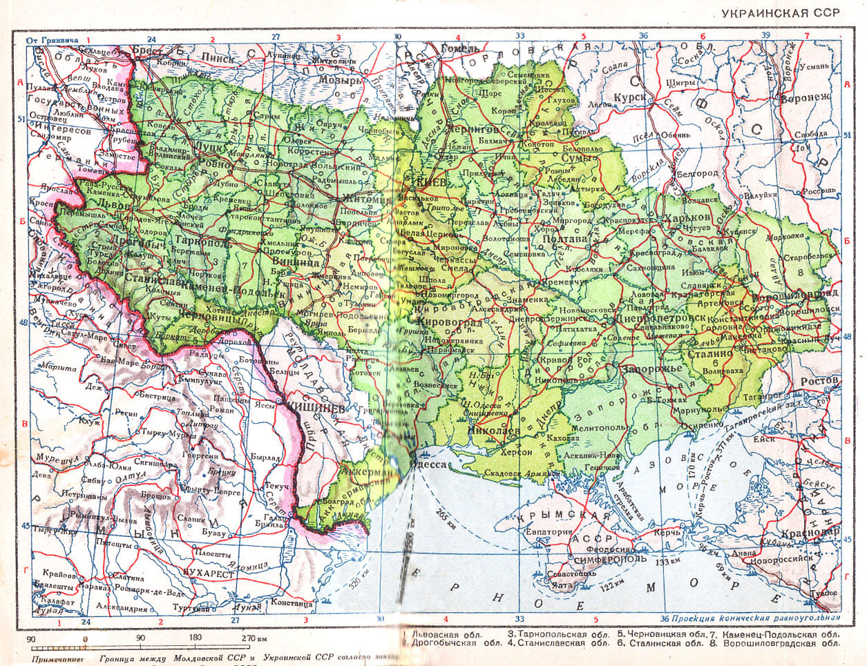
Soubor:Ukrainian SSR 1940.jpg
Z Multimediaexpo.cz
Velikost tohoto náhledu je: 780 × 600 pixelů
Obrázek ve vyšším rozlišení (rozměr: 1 255 × 965 pixelů, velikost souboru: 721 kB, MIME typ: image/jpeg)
Mapa + Description: Ukrainian SSR (Украинская ССР). Scale 1:9,000,000 (year 1940). The adjacent parts of Poland occupied by Nazi Germany are labeled area of state interests of Germany.
- Date: 1940
- Source: Карманный атлас СССР. 11-е изд. — Ленинград: ГУГК при СНК СССР, 1940 [Pocket Atlas of the USSR. 11th ed. Leningrad: Chief Administration of Geodesy and Cartography under the Council of People's Commissars of the USSR, 1940]. Page 34.
- Author: Soviet government
+ pochází z Wikimedia Commons, kde má status – This work is in the public domain in Russia according to article 1281 of the Civil Code of the Russian Federation, articles 5 and 6 of Law No. 231-FZ of the Russian Federation of December 18, 2006 (the Implementation Act for Book IV of the Civil Code of the Russian Federation).
Historie souboru
Kliknutím na datum a čas se zobrazí tehdejší verze souboru.
| Datum a čas | Náhled | Rozměry | Uživatel | Komentář | |
|---|---|---|---|---|---|
| současná | 13. 2. 2015, 10:15 | | 1 255×965 (721 kB) | Sysop (diskuse | příspěvky) | (Fotografie+120) |
- Editovat tento soubor v externím programu (Více informací najdete v nápovědě pro nastavení.)
Odkazy na soubor
Na soubor odkazuje tato stránka:


